Difference between revisions of "Brooks County"
From Texas Century Club
Dell.Little (Talk | contribs) |
Dell.Little (Talk | contribs) (→County Big Years & Big Days) |
||
| Line 16: | Line 16: | ||
<span style="font-size:120%">'''[[County_Big_Days|All County Top 10 Big <span style="font-size:130%">Days]]''' | <span style="font-size:120%">'''[[County_Big_Days|All County Top 10 Big <span style="font-size:130%">Days]]''' | ||
| − | {{#iDisplay:https://docs.google.com/spreadsheets/d/e/2PACX-1vR5j2Sup0XJazET2UjuIPOm0jrQkAFwmazJrw3_1RyMWJ1SkOTr_DSYKyOKAEbftX1pyVs7e99rUOTl/pubhtml?gid=0& | + | {{#iDisplay:https://docs.google.com/spreadsheets/d/e/2PACX-1vR5j2Sup0XJazET2UjuIPOm0jrQkAFwmazJrw3_1RyMWJ1SkOTr_DSYKyOKAEbftX1pyVs7e99rUOTl/pubhtml?gid=0&single=true|100%|325}} |
---- | ---- | ||
Revision as of 13:18, 7 April 2025
Contents |
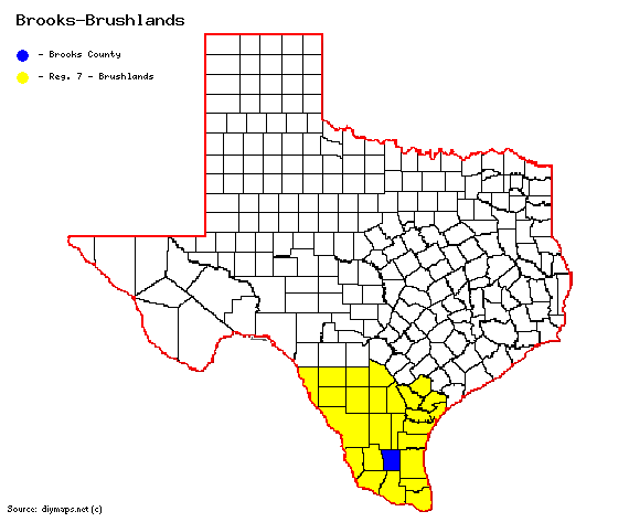
Region 7 Brushlands
Previous county: Briscoe, Next: Brown, All Counties: Alphabetically
Bordering counties - North: Duval, Jim Wells, Northeast: Kleberg, East: Kenedy, South: Hidalgo, Southwest: Starr, West: Jim Hogg
Century Clubbers
eBird Top 100
County Big Years & Big Days
eBird Hot Spots - Brooks County
Guides and Resources
- Birdinghotspots.org - Brooks County
- Great Texas Coastal Birding Trail - Lower Texas Coast Region: Los Ranchos de Tejas Loop at Texas Parks & Wildlife
- Includes:
- TxDOT Brooks County (Falfurrias) Rest Area
- Dell's map of Brooks County for birding and exploring. It includes eBird Hotspots and additional potential locations, creek crossings and roads that may be productive.
Previous county: Briscoe, Next: Brown
Bordering counties - North: Duval, Jim Wells, Northeast: Kleberg, East: Kenedy, South: Hidalgo, Southwest: Starr, West: Jim Hogg
