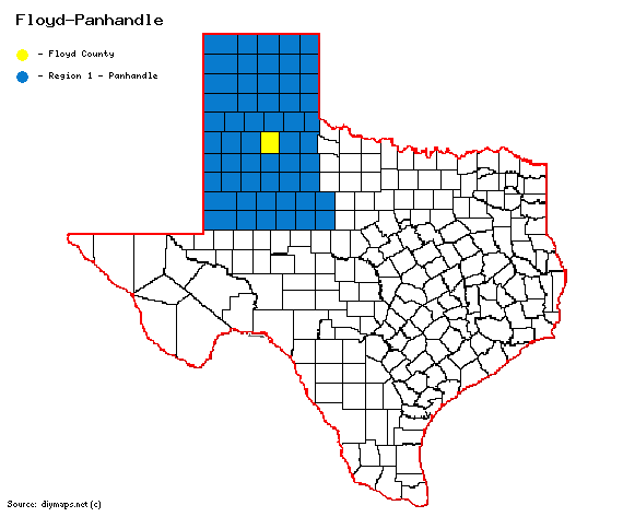
Floyd County
From Texas Century Club
Contents |
Region 1 Panhandle
Previous county: Fisher, Next: Foard, All Counties: Alphabetically
Bordering counties - North: Briscoe, East: Motley, Southeast: Dickens, South: Crosby, Southwest: Lubbock, West: Hale, Northwest: Swisher
Century Clubbers
eBird Top 100
County Big Years & Big Days
eBird Hot Spots - (county name) County
Guides and Resources
- US62 AT WHITE RIVER
- EAGLES HALL PARK
- FLOYDADA
- FLOYDADA CEMETERY
- US62 PLAYAS
- CR231 WETLANDS
- DOUGHERTY AREA PLAYAS
- LOCKNEY WWTP
- WESTERN CATTLE FEEDERS AREA
- FM378 COW POND
- FM1065 LOS LINGOS CREEK CROSSING
- Dell's map of Floyd County including eBird Hotspots, locations and routing taken from Peter Keyel's County Listing Guide in the Southern High Plains and more.
Previous county: Fisher, Next: Foard
Bordering counties - North: Briscoe, East: Motley, Southeast: Dickens, South: Crosby, Southwest: Lubbock, West: Hale, Northwest: Swisher
