Difference between revisions of "Bastrop County"
From Texas Century Club
Dell.Little (Talk | contribs) |
Dell.Little (Talk | contribs) (→Hot Spots - Bastrop County) |
||
| Line 19: | Line 19: | ||
---- | ---- | ||
| − | == '''[http://ebird.org/ebird/tx/subnational2/US-TX-021/hotspots?yr=all&m= Hot Spots - Bastrop County]''' == | + | == '''[http://ebird.org/ebird/tx/subnational2/US-TX-021/hotspots?yr=all&m= eBird Hot Spots - Bastrop County]''' == |
== Guides and Resources == | == Guides and Resources == | ||
Revision as of 15:14, 20 August 2024
Contents |
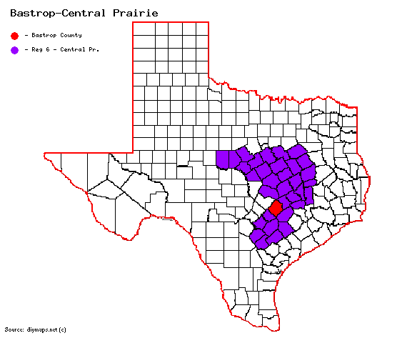
Region 6 Central Prairie
Previous county: Bandera, Next: Baylor, All Counties: Alphabetically
Bordering counties - North: Williamson, Northeast: Lee, Southeast: Fayette, Southwest: Caldwell, Northwest: Travis
Century Clubbers
eBird Top 100
County Big Years & Big Days
eBird Hot Spots - Bastrop County
Guides and Resources
- Birdinghotspots.org - Bastrop County
- Bastrop County Birding Hotspots at Bastrop County Audubon
- Includes:
- Earhardt Road
- Alum Creek Road and Gotier Trace
- Bastrop State Park
- (and a list of others)
- Great Texas Wildlife Trails - Heart of Texas East: East Austin Loop at Texas Parks & Wildlife
- Includes:
- Bastrop SP and Buescher SP
- McKinney Roughs LCRA Park
- Southeast Area Includes:
Previous county: Bandera, Next: Baylor
Bordering counties - North: Williamson, Northeast: Lee, Southeast: Fayette, Southwest: Caldwell, Northwest: Travis
